I was preparing for a trip to the Smoky Mountains and decided to try out a cheaper solution. The iPhone has several apps for GPS tracking, but I went with Geotag Photos Pro ($3.99) after reading some reviews online. They do have a free version, but I did not try it.
When I arrived in the mountains, I opened the app, synchronized the time with my camera and started a "new trip" and began recording. Since I was not getting a signal from AT&T at the location, I was wondering if the app would actually work. To my surprise, it had no problems.
The iPhone battery does burn down faster than it would in sleep mode, but I got through a day of shooting with about half the battery left. We weren't in my vehicle, so I was unable charge the phone during the day (note to self: buy a car charger).
At some point, I gave the app my email address and then I uploaded the logged data. When I got back home, I setup a password on their website and downloaded their desktop app. Once I had the app installed, I opened it, chose the folder with the photos and had it attach the GPS data.
After several hours, it finished attaching the GPS data to my 1300 or so RAW files. I am not sure if it takes less time with smaller jpegs, but you may want to keep this in mind if you need to work with your folders quickly. Also, I made the mistake of importing my files into Lightroom before attaching the GPS information. The GPS data did not automatically attach, so I had to remove the photos from Lightroom and reimport them. The GPS data was now there and I was able to click on the map and see the location of the photos.
Since I have so many photo files, I can't say for sure that all of them have correct data, but with the several files I have checked, the location seems correct ( I was in the mountains, so it is a bit difficult to pinpoint the exact location of a photo. I would like to try it in the city before saying for sure).
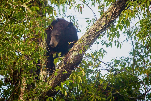
After attaching the GPS, I still had issues uploading the information to Flickr from Lightroom. However, I exported the photo to Aperture and didn't have any issues with the GPS information being attached. Click the picture below to see the map (on the right of the photo):

 RSS Feed